Day 3 – Well 8 to Well 15

A nice area to set up camp last night with yet another star-filled night, sitting out around the campfire.

Up about 6ish this morning and set off around 7. Once again corrugations upon corrugations.
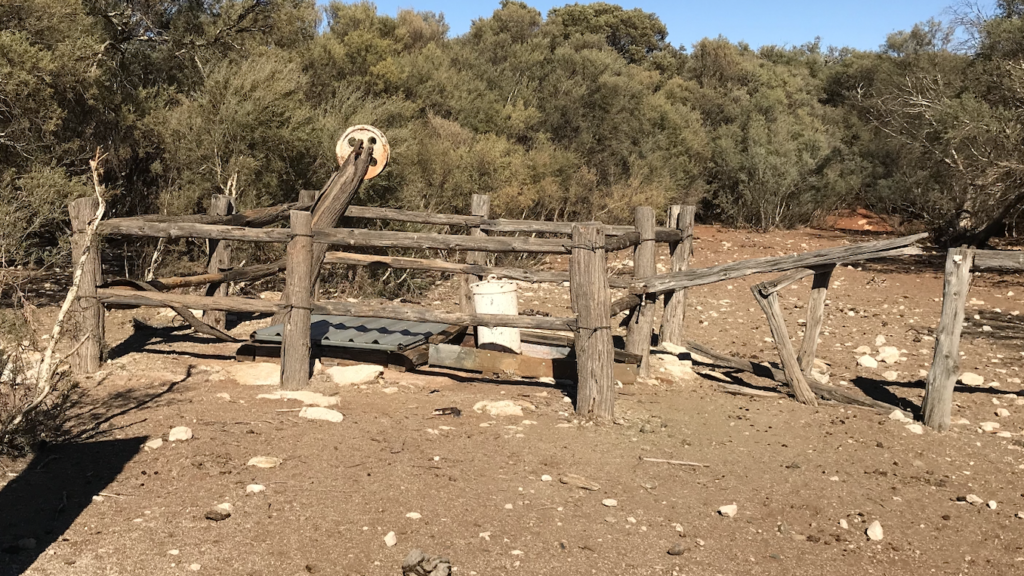
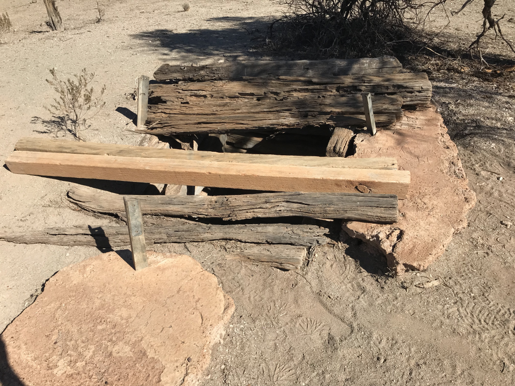
After a couple of hours, we reached Well 9, not much left of the actual well remains. Basically ruins with corrugated iron sheeting covering the actual well shaft as a safety precaution to stop animals and curious humans from falling down.
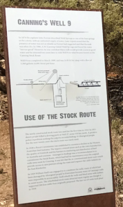
CSR Well 9 Plaque

There is a plaque beside the well which gives some background and history.

We hadn’t seen too much traffic on the CSR, and we did expect to see quite a few travelling both ways, but this morning there was a group of 5 vehicles heading south, travelling in convoy.
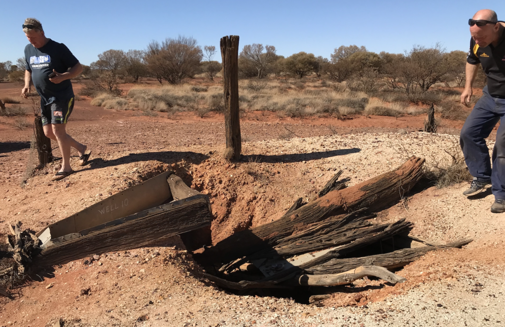
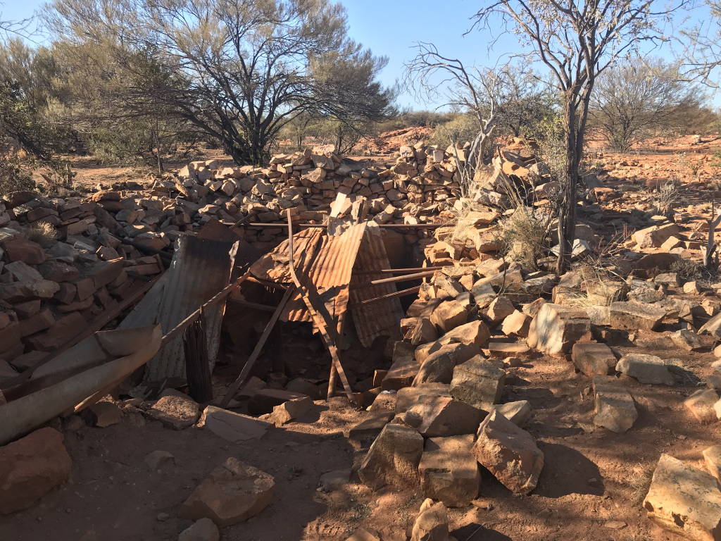
CSR Well 10 remains

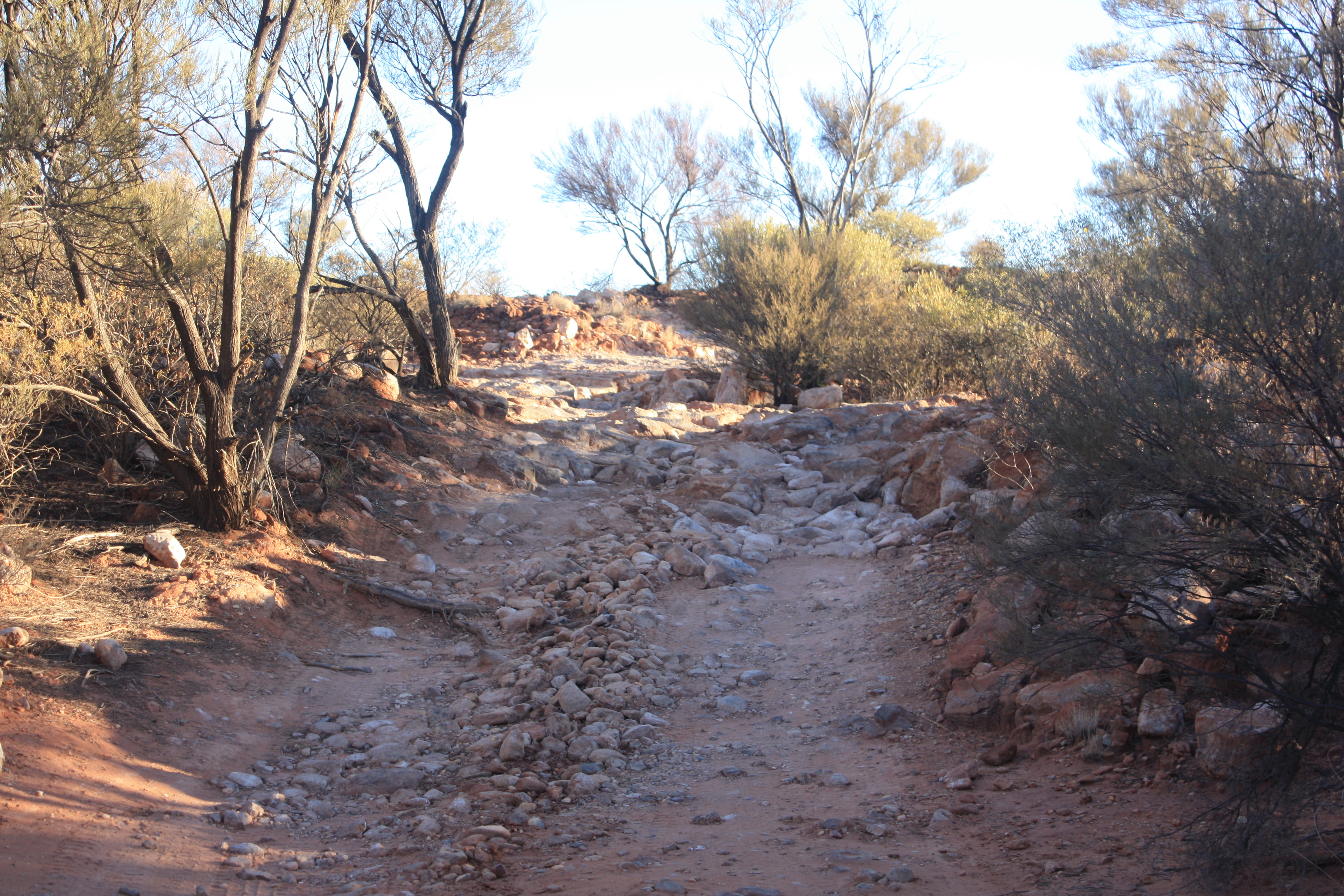
After leaving Well 9 there were several rocky sections where we needed to be careful keeping an eye out for protruding sharp edges in the rocky terrain.

About 21 Kms further on we arrived at Well 10 which is also in ruins

Only 15Kms to Well 11. Once again some particularly rocky sections between Wells 10 and 11. as well as some of the largest and roughest corrugations we had come across when we thought that they could not get any worse
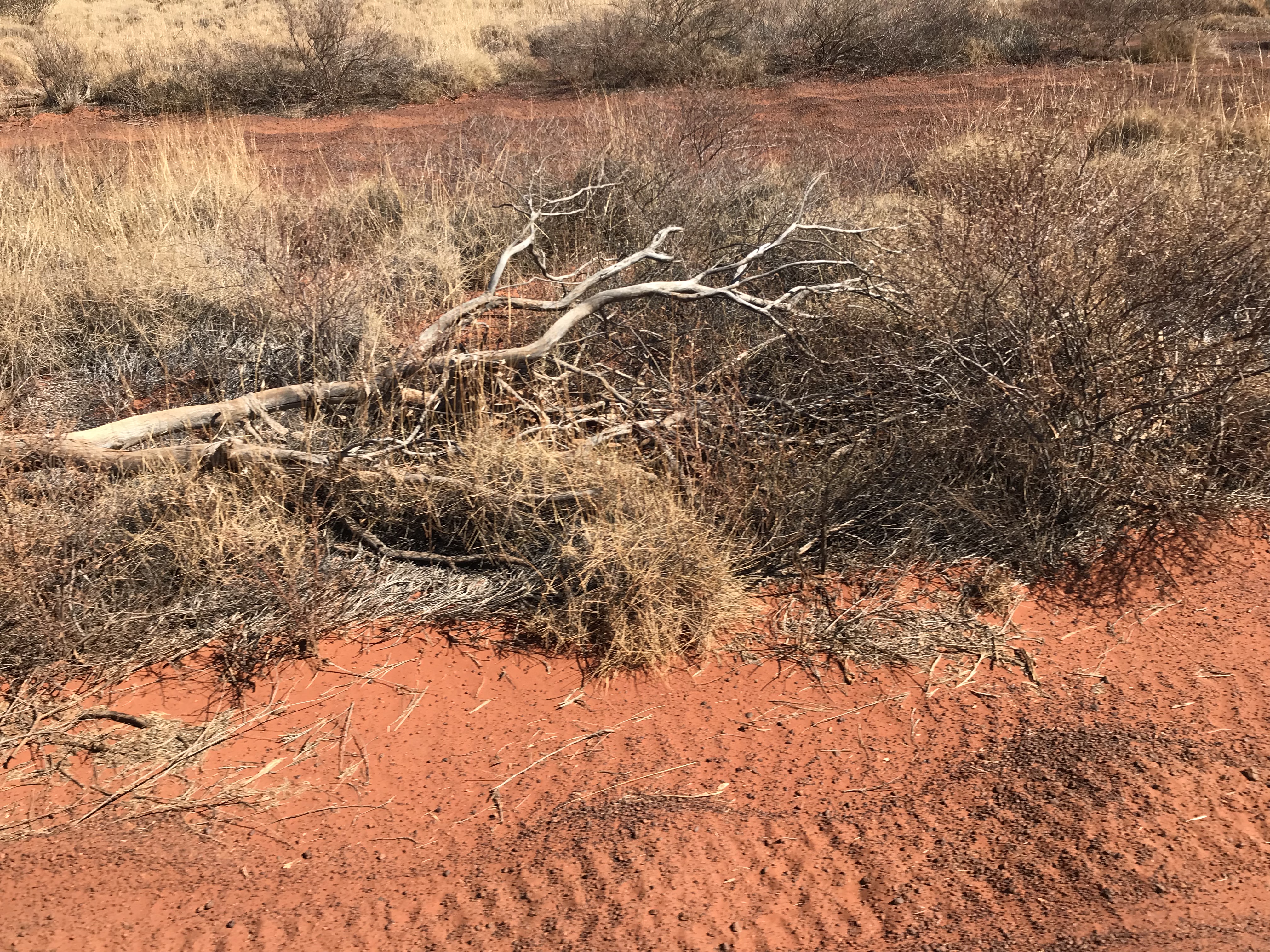
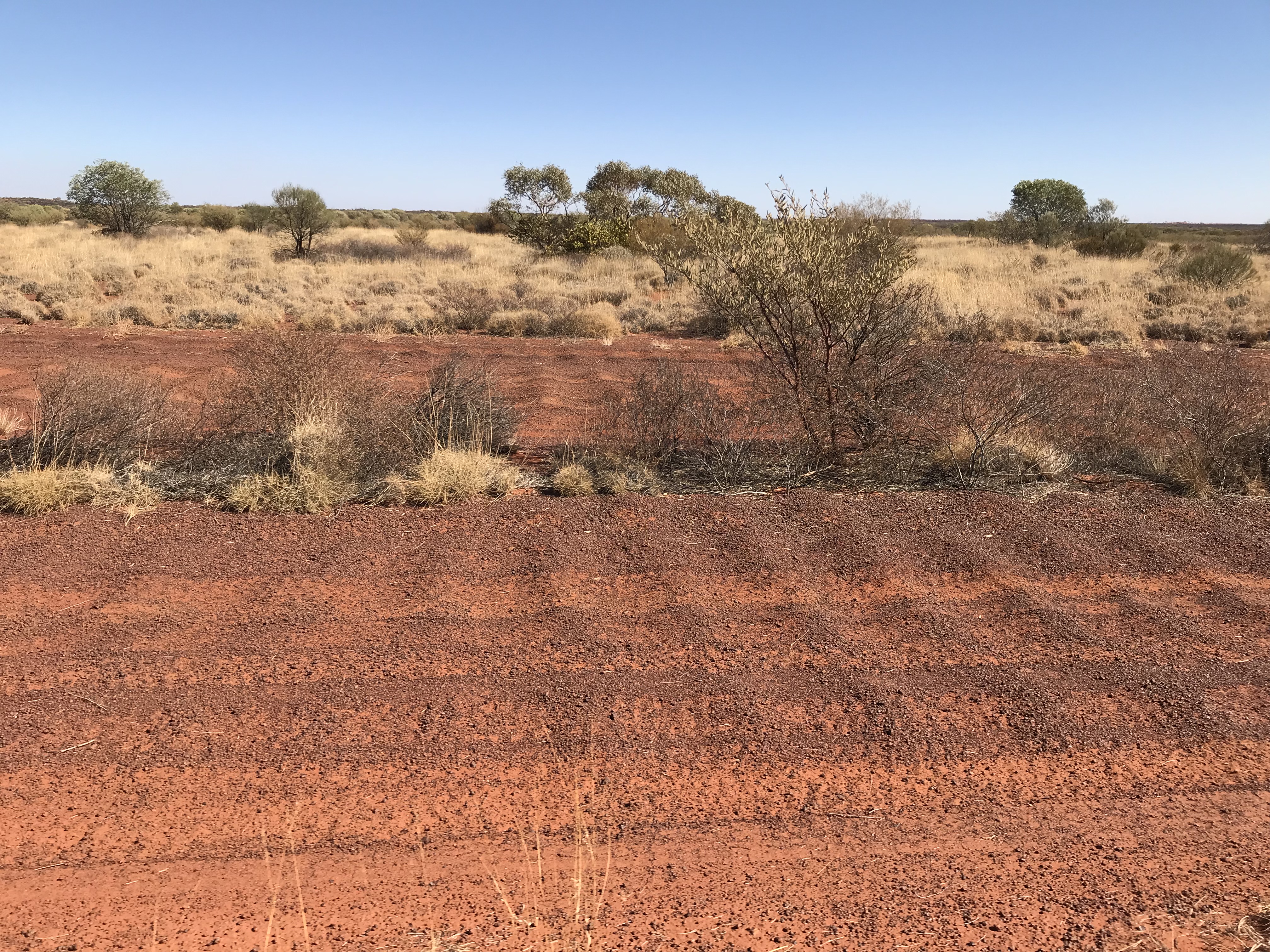
CSR Corrugations
Corrugations
CSR Corrugations
More Corrugations
CSR Corrugations
Even More Corrugations
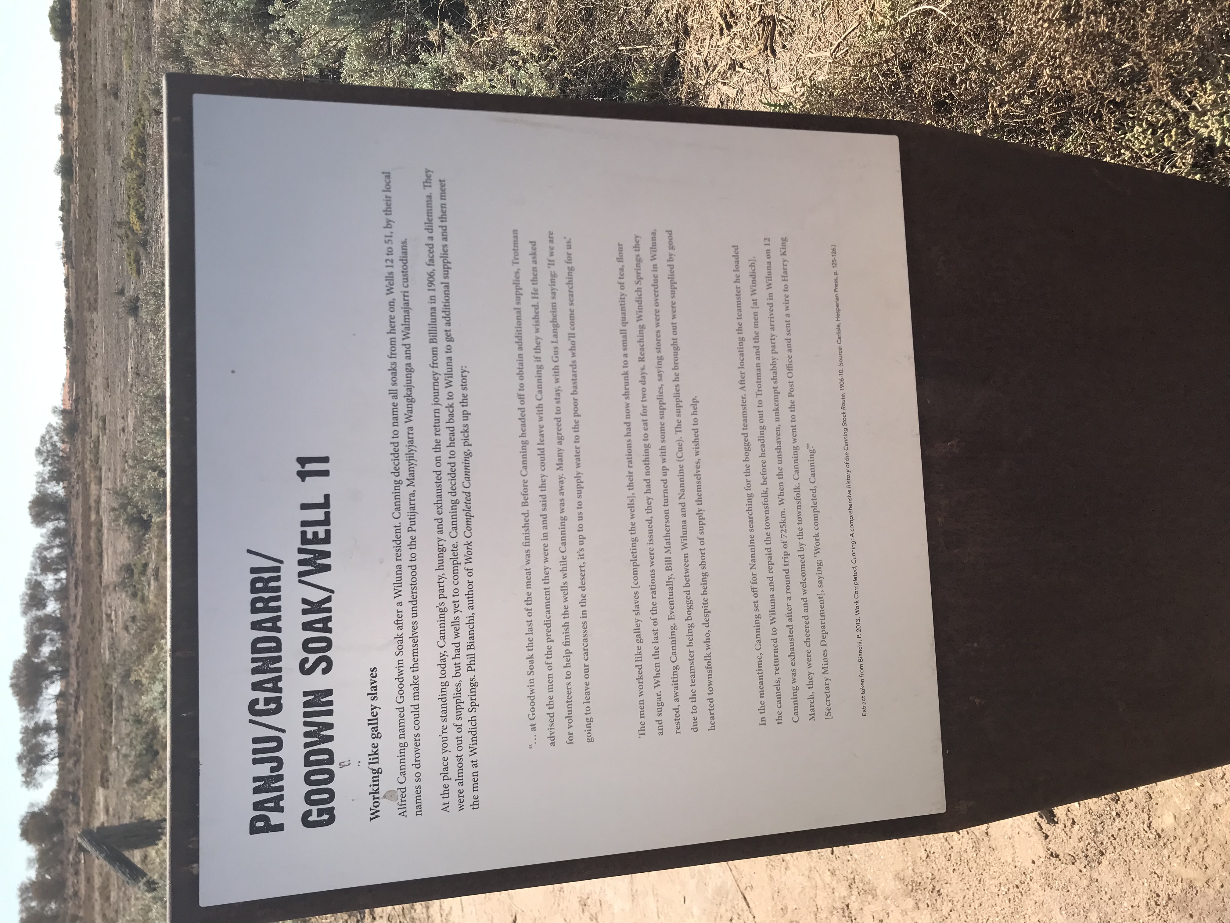
CSR Well 11 Plaque

Well 11 is situated close by Lake White, in an area known as “Goodwin Soak”, which was an ideal site for the Well. Hardly anything left of the actual Well, even though it was completely rebuilt in 1929 after it was demolished by fire

After we left Well 11 there were more corrugations as well as rocky areas. Some 16 Kms after leaving Well 11 we were onto the Salt Pan beside Lake Aerodrome. It was great fun driving along the salt pans, no corrugations nice and smooth relatively speaking. We made sure that we kept following other vehicles’ tracks as it can be dangerous in some spots where the surface is not as thick and the vehicle can get bogged to the axles and need a tow to get out. This is made much harder as there are few trees or anything really to use as an anchor point to winch out. Possibly 8 – 10 Kms of salt pan driving, then more dips and rocky sections as we drove the last few Kms to Well 12

Well 12 has also been restored and is in working order
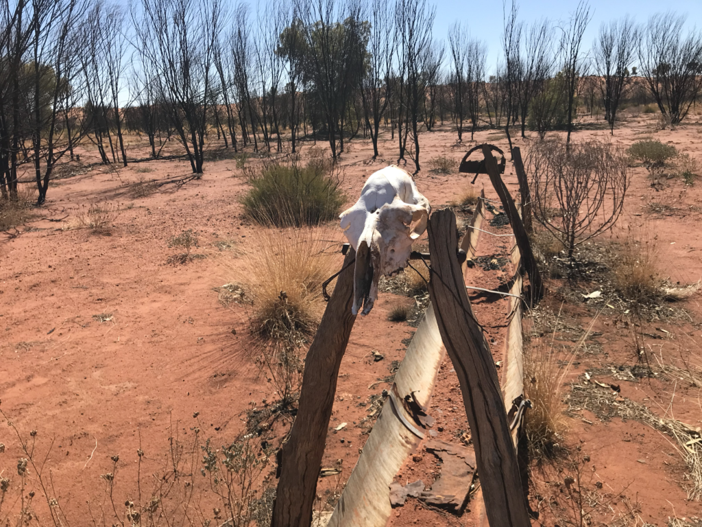
CSR Well 12
CSR Well 13

After checking out Well 12, and washing the pits ‘n bits to get rid of some of the red dirt, in fact, you cannot get rid of it completely, we headed off to Well 13. Apart from some rocky sections the track from Well 12 to Well 13 is not all that windy which made a change. The distance between the wells is about 25Kms.

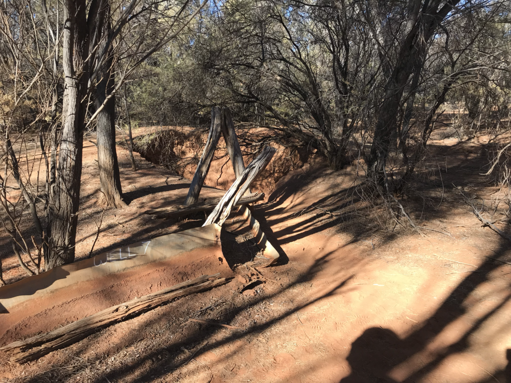
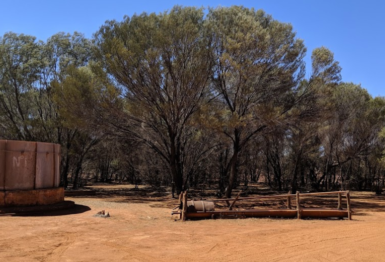
There is not much left of Well 13, just ruins, but as can be seen in the photo, but it does give an idea of the layout of how the wells were designed with the trough to pour water into after drawing the water up from the well, so that the cattle could slake their thirst.

Pushing on from Well 13, we were back amongst the corrugations with several rocky sections and some dips that at other times of the year would have been water crossings.

However, the route was starting to change and varied from rocky areas where we needed to be cautious with lower pressure in the tyres and did not want to have one of the sharp edges pierce the sidewall to smaller sand dunes. Knowing that we were headed into bigger and steeper sand dunes ahead

Not too far in distance to Well 14, just about 18Kms, but distance is not the thing, it is the terrain that the cattle had to travel over, plus the fact there was a suitable place to sink a well. In fact, Canning relied heavily on locals Aboriginals, who of course would only assist in their tribal area, knowing the country and where there were suitable locations to sink a well.
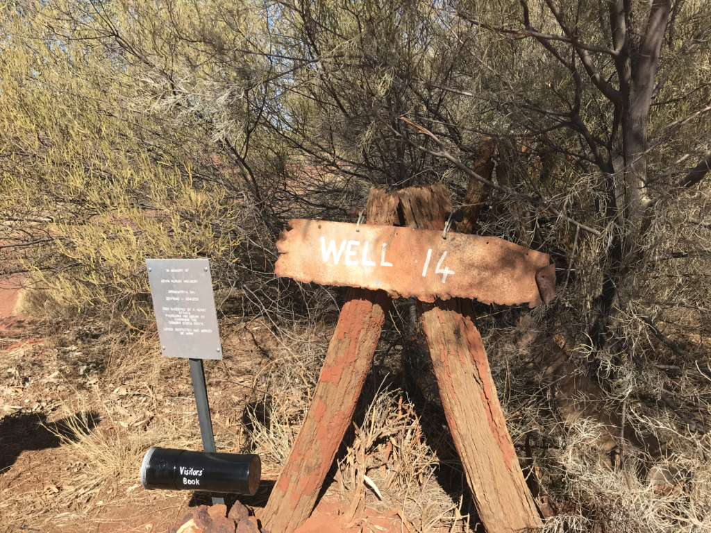
CSR Well 14

Well 14

Once again another well in ruins. Although this well was in good order and still being used in 1929.

Heading off from Well 14 the terrain was varied from rocky sections, boggy sections as well as very rough corrugations that only seem to get worse and worse as we traversed the 25Kms to Well 15
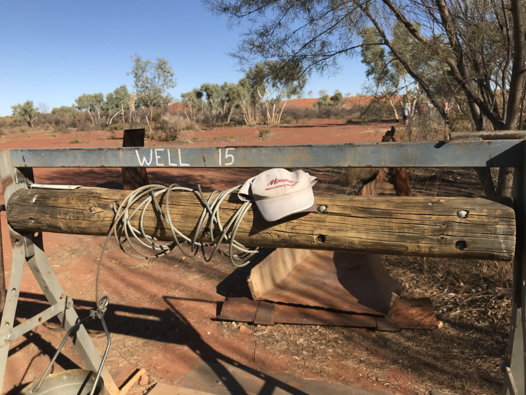
CSR Well 15

Getting close to Well 15, there is an abandoned trailer. throughout the length of the track, there are a number of abandoned vehicles and an even higher number of trailers.

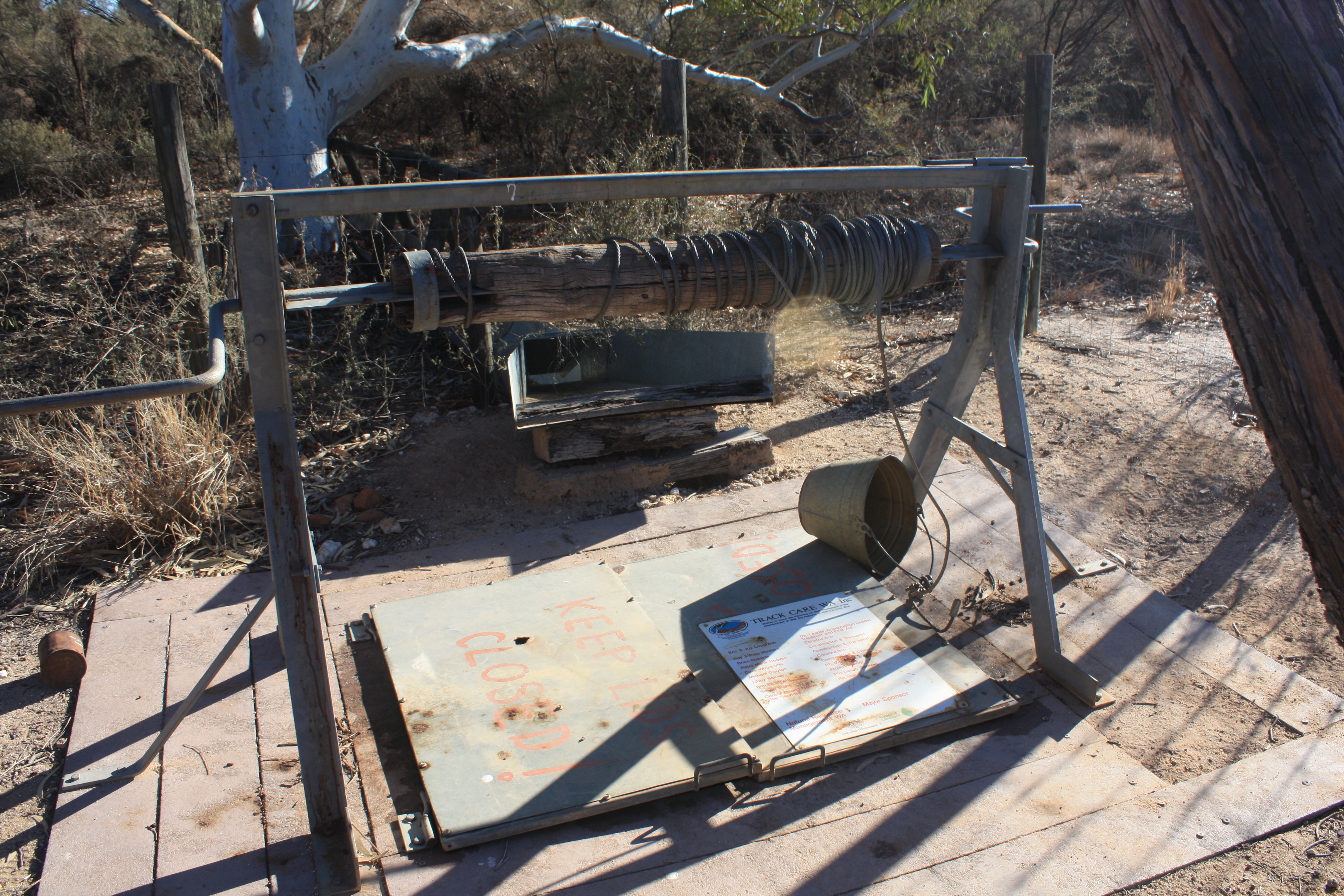
Well 15 has also been restored, and even though the winch doesn’t look all that reliable, you can winch up a bucket of water quite easily

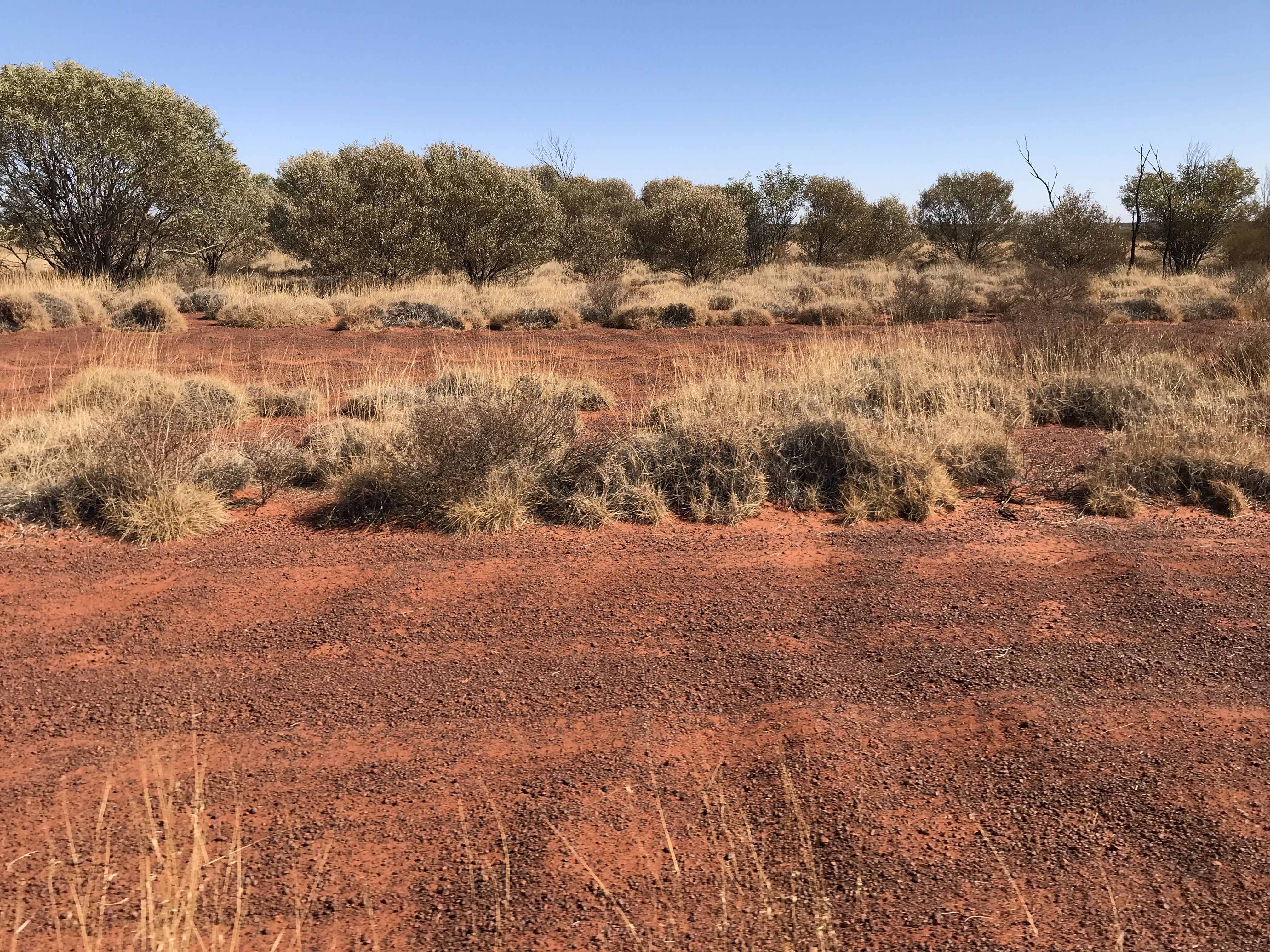
Some of the magnificent scenery along the way and where we set up camp for the night between Wells 15 and 16

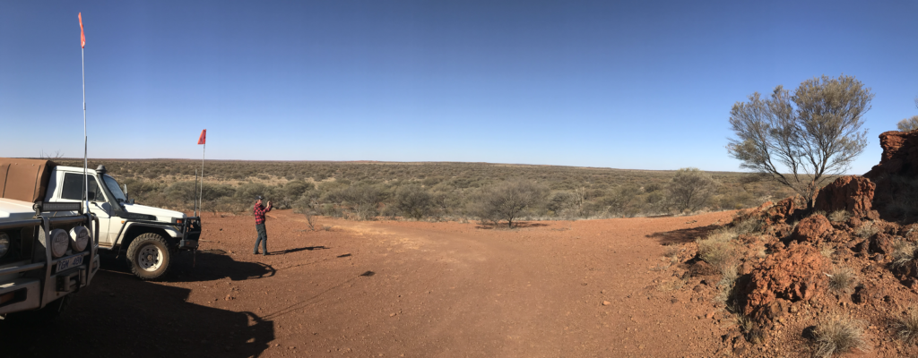
CSR near Well 15
CSR near Well 15
CSR near Well 15
CSR near Well 15 with Bruce
Rocky Terrain
Rocky Terrain near Well 16
Setting up Camp
Setting up Camp
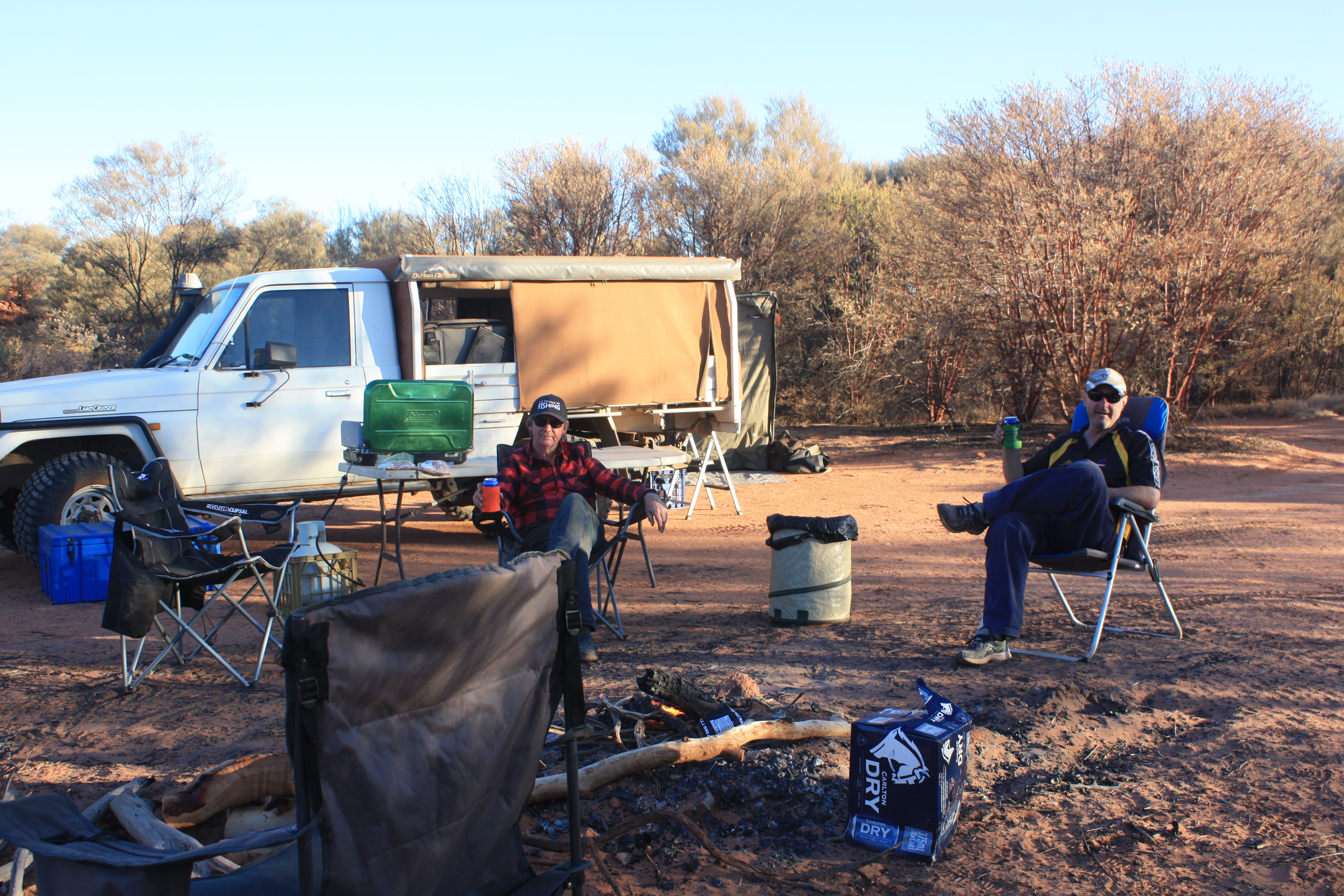
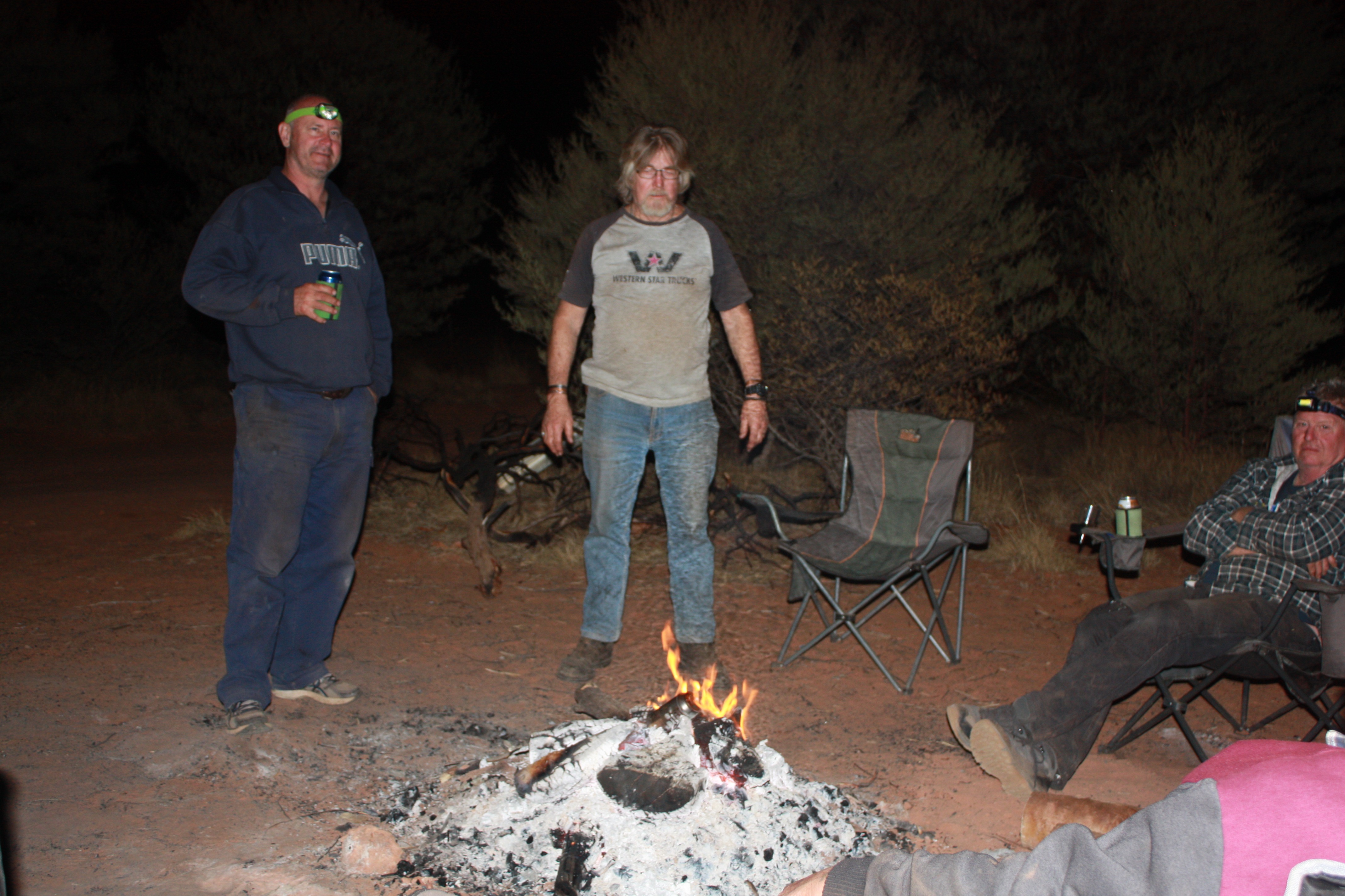
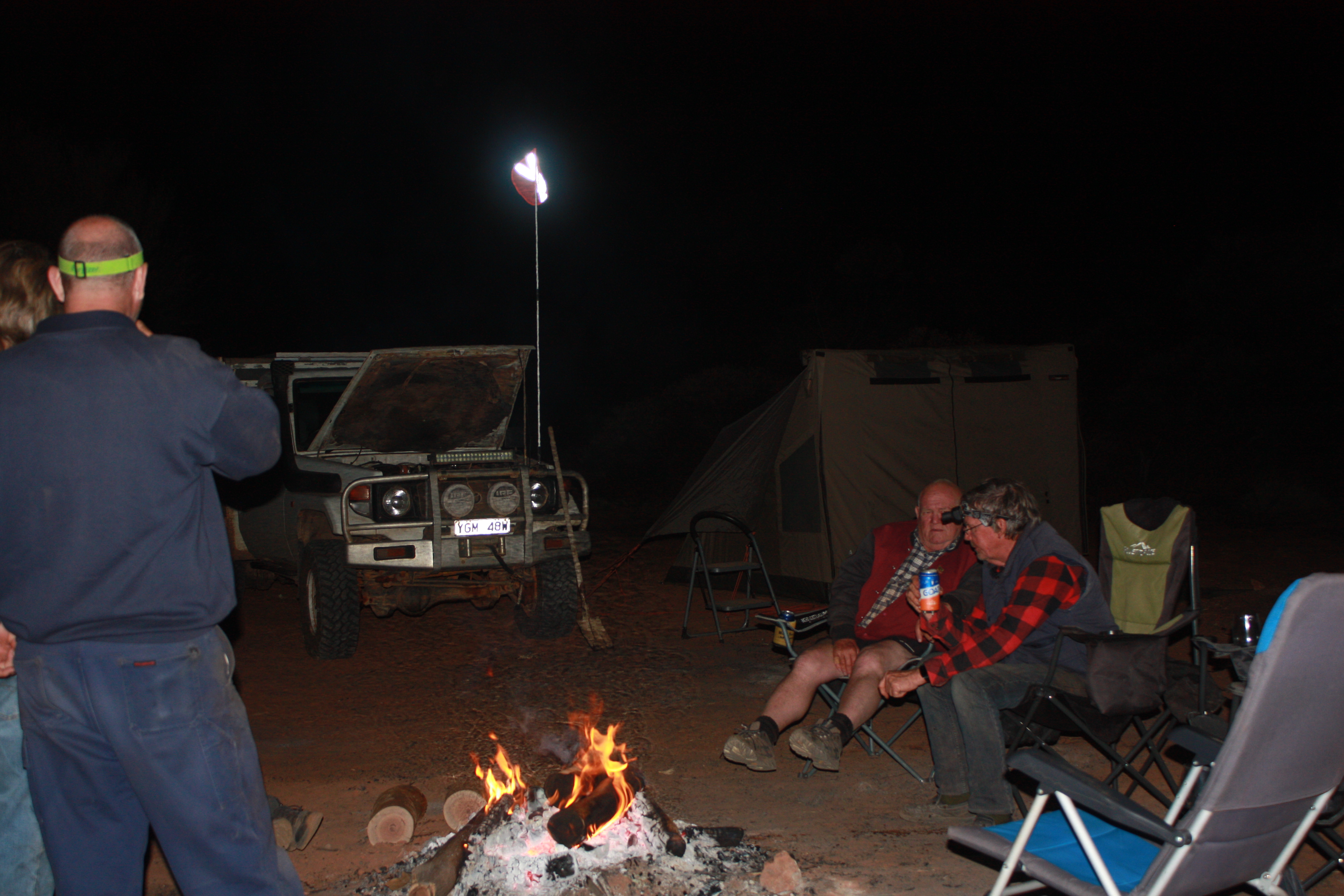
Relaxing Around the Campfire

Day 2 – Well 3 to Well 8

No hurry to break camp this morning. Up, breakfast, packed our gear away ready for another adventurous day. We checked out the Well 3 again as we were losing daylight yesterday after we had set up camp.

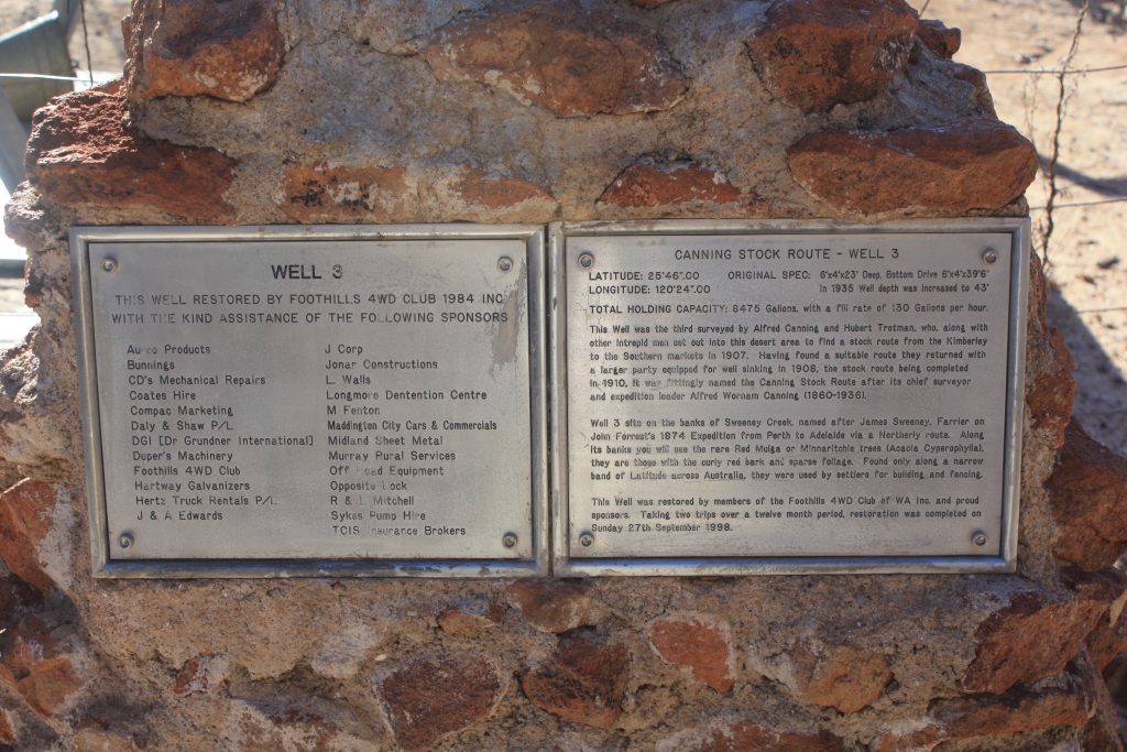
CSR Well3 Plaque
CSR Well 3 Plaque

We headed off about 8am to Well 3A which is about 22Kms north of Well 3. The original track is not used anymore, and the track uses part of Cunyu Station Road, not that we could see any difference, just the fact that it is a “private” road. Several dips that are creek crossings in the wetter months.

May put the Cunya photo here

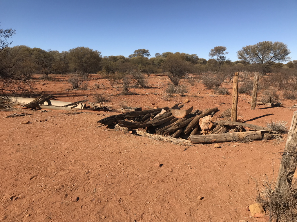
Well 3A is a little to the west of today’s track due to the original part of the track not being used between Well 3 and 3A. As can bes seen this is also in ruins

CSR Well 3A
CSR Well 3A

Although there is mention of Well 4 in the guides we used, and notes on maps, there was no marker pointing to where Well 4 was originally located

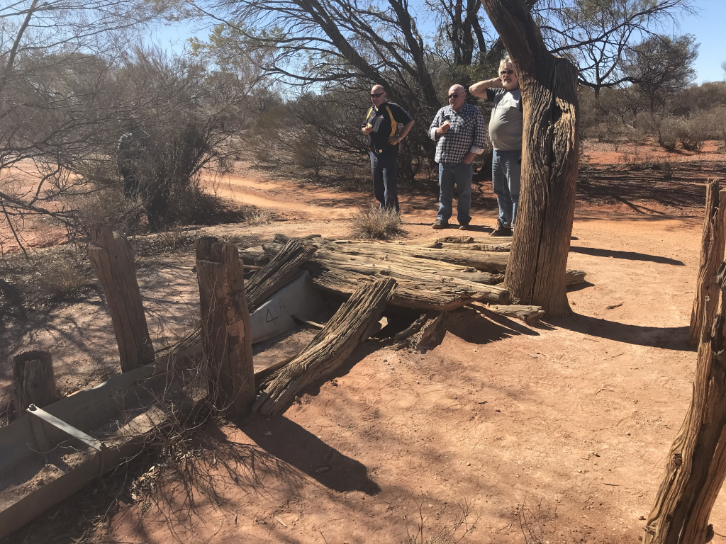
CSR Well 4A is some 50Kms north. This section has heaps of corrugations as well as multiple dips into dry creek crossings as well as a few dips that did have water or were moist. There are also a couple of “creeks” that were dry.

SR Well 4A - checking out the ruins
CSR Well 4A – checking out the ruins
CSR Well 4A - showing the trough
CSR Well 4A – showing the cattle trough

Proceeding on from Well 4A the track is very windy as we head down into another creek then onto Windich Springs, really nothing to see here in the dry season just a dry creek bed. About another 10 mins drive into Well 4B

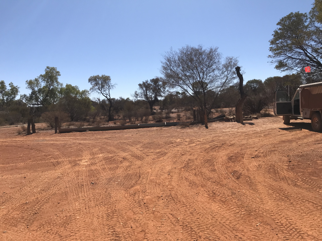
Well 4B – pretty much in ruins

Not too much left at Well 4B. This well was built in 1929 another interim one as the distance between 4 & 5 was just too far. Remember the cattle were being driven south so this was near the end of the journey.

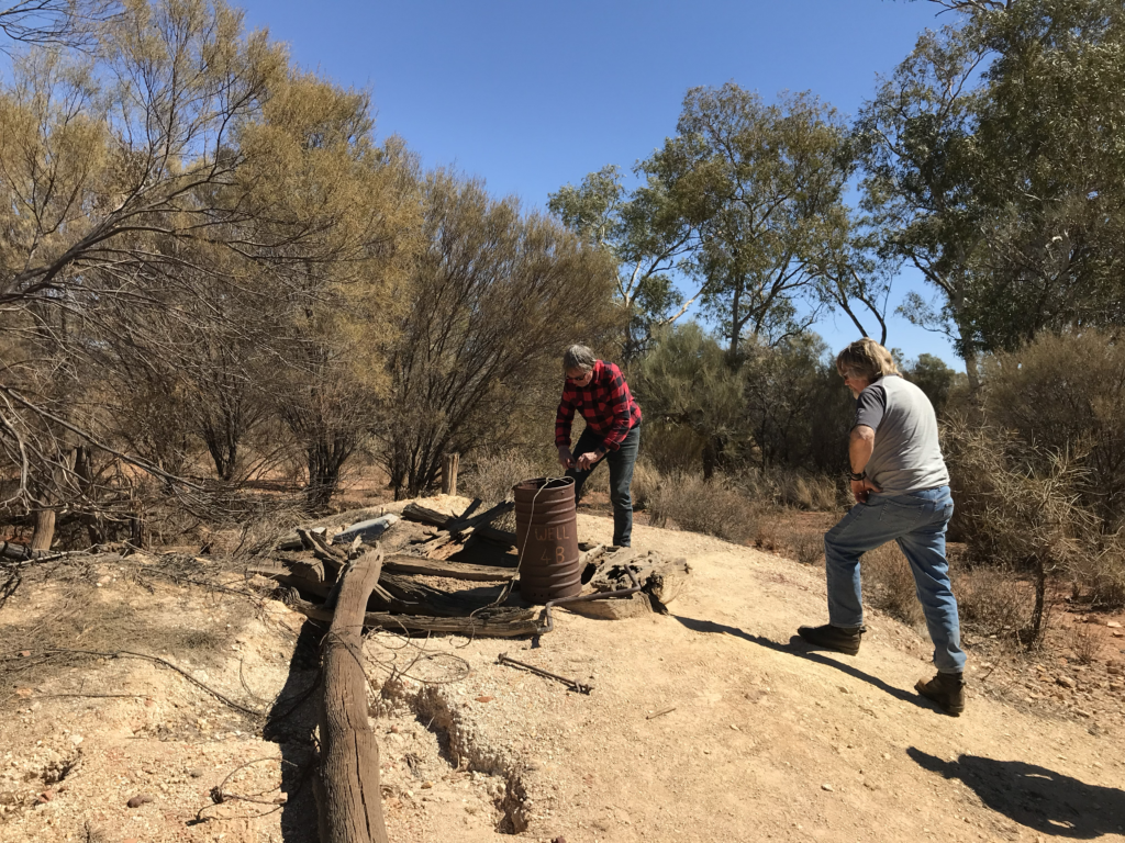
Off to Well 5 which is the deepest well on the CSR. It has been restored and is in working order and the water was good enough to have a wash in. I was not tempted to drink it to see it it was OK although other travellers say that is is fine to drink

Getting Water From The Restored Well 5
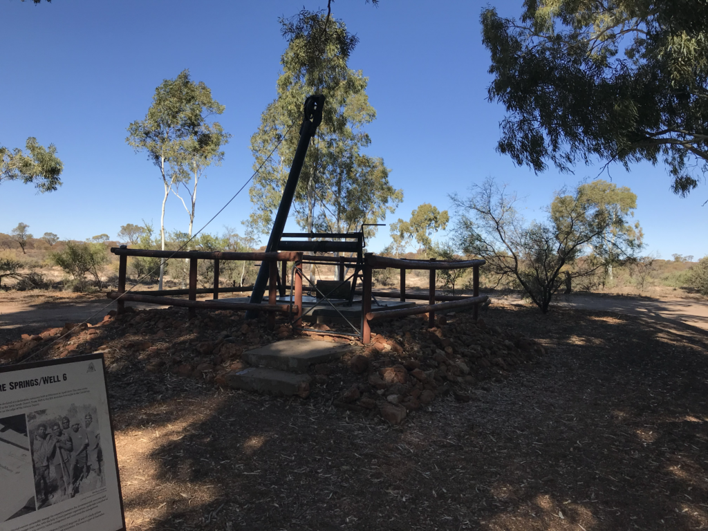
Well 6 Restored and working
Well 6 – also restored and usable

After a long break and it was time to set off the 20Kms to Well 6. This well has also been restored and is managed and conserved by the local traditional Landowners. Beautiful countryside around the well sites, underground water helps I guess. Good camping here but too early in the day to consider camping here for the night

Well 7 is just over 23Kms further north and a Km or so off the CSR. The well is pretty much just ruins, so it was really good to see a couple of wells that had been restored

Well 7 Ruins Canning Stock Route

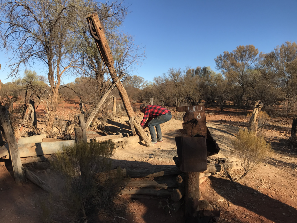
A short drive of some 15Kms on is the location of Well 8, this is also in ruins. Although a short drive plenty of rocky sections in this area, as well as the usual corrugations. A windmill and small tank were built on this site in 1929 which are now long gone

Well 8 Ruins Canning Stock Route
Well 8 Ruins which once had a windmill and tank installed

Getting late in the day so we started off keeping an eye out for a nice camping spot for the night. Once again corrugations upon corrugations.

We found a large area with plenty of level ground, pretty close to the Canning Stock Route and plenty of dead wood so we could have our traditional campfire to sit around.

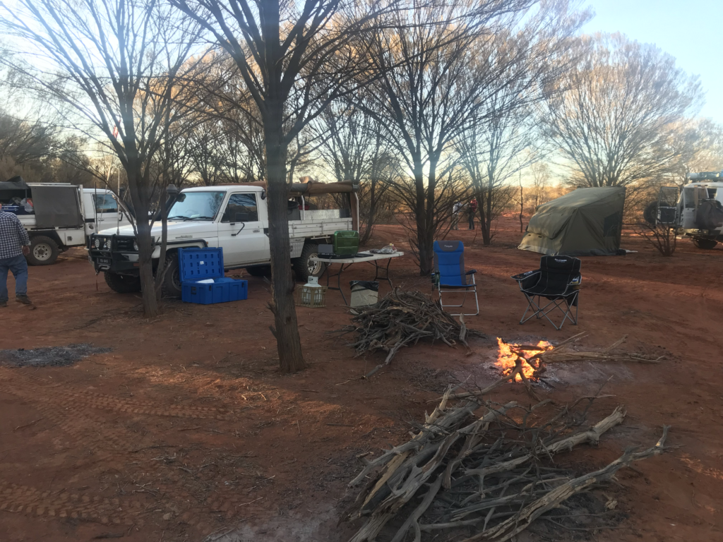
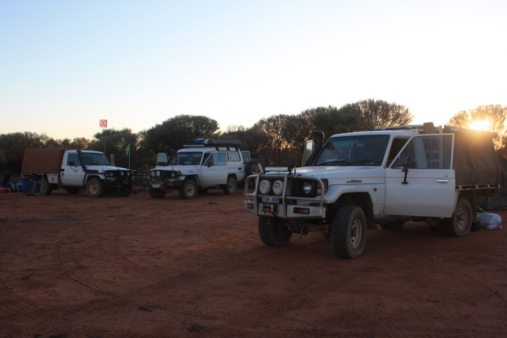
We quickly set up our tents, grabbed a beer and started organising our evening meal. A beautiful clear evening

Setting Up Camp Day 2 on the Canning Stock Route

Day 1 – The Adventure Starts

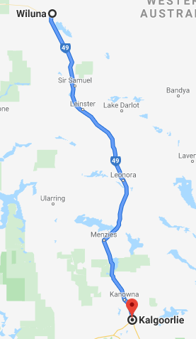
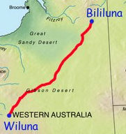
Kalgoorlie to Wiluna Map

Our plan for today was simple enough, up at 5, to be on the road by 6am. For some reason Steve and Ian misunderstood, and thought that the get up time was 6 with a getaway of 7. Once they heard the activity outside they rallied and got themselves organised in quick time, so we got away only a few minutes after the appointed time.

We have about a 5 hour drive with not too much in between, so coffee and breakfast at Macca’s it was before heading out of town toward Wiluna.

Easy drive to Wiluna mostly straight road and not too much traffic, mostly Road Trains, which I am not sure and unqualified to hazard a guess as to what they were. In my notes I put B-Quads, as they had 4 trailers connected to the prime mover, but there are different types see here. Maybe Doc can give me some clarification.

We arrived at Wiluna and realised that the best of the town was long gone. At one point, after gold had been discovered in March 1896 the population grew to more than 9,000 people by the mid 1930’s, this quickly reversed during and after WWII. The population is now about 300.

We had thought about staying at Wiluna before arriving there, but when we arrived we agreed that we should move on as there was no real reason to stay in the town and there was plenty of daylight left.

We once again filled up with diesel, this was it, the last fuel before Bililuna! The price for fuel was 179.9 cents p/l

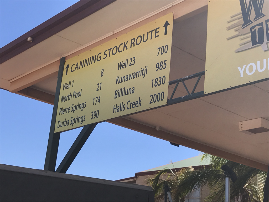
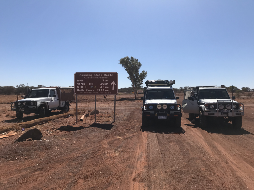
The Canning Stock Route starts a few hundred metres west of town. Take the obligatory photos, then off to find the first well.

Canning Stock Route sign at Wiluna
Canning Stock Route sign at Wiluna outskirts


Well 1 was a little hard to find as it was off the track and signposting was minimal at the time we went through

CSR Well 1
CSR Well 1

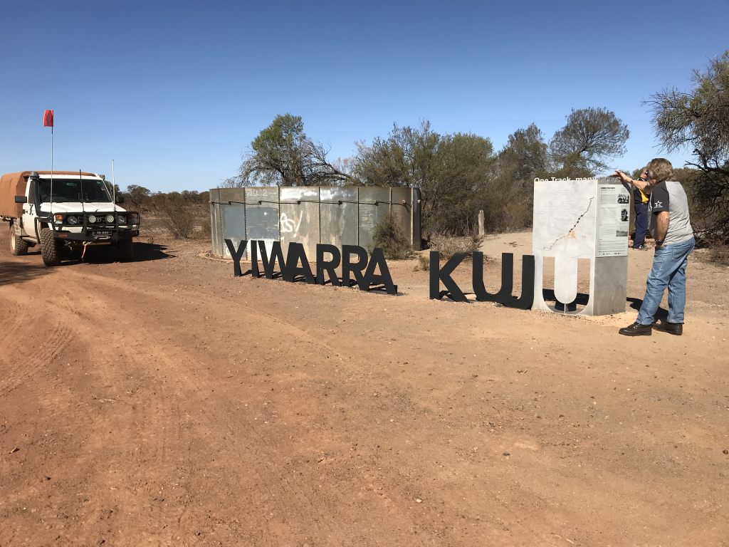
Next stop point was Well 2 which has seen better days although there was some interesting history on the Canning Stock Route and the Aboriginal ties and history in the area.

CSR Well 2 Yiwarra Kuju
Well 2 – Yiwarra Kuju
CSR Well 2
CSR Well 2

After Well 2, we turned off onto the track proper, up to this point the CSR was still part of the Wiluna North Rd, which was not all that well maintained

The section to Well 2A was starting to get a little how we expected, the start of some corrugations and washouts with a few windy sections as well, but easy to navigate

CSR Well 2A
CSR Well 2A
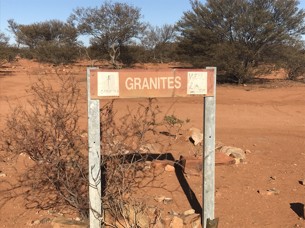
CSR Well 2A - The Granites
CSR Well 2A – The Granites

The fun started from Well 2A as we headed off to Well 3. Granite and stones across the track as well as the start of the corrugations that we had read so much about that apparently span the distance of the track. Plenty of dry creek crossings. We took a big dive into a ditch that didn’t look all that bad about a K or so from Well 3, bent the number plate that was about the extent of the damage. So much bulldust (literally) here that we initially that we thought that it was steam and that we had a radiator problem – phew thankfully it was not that.

CSR Well 3 Campsite
Well 3 Campsite

We travelled much further than we had anticipated today, so a little later, about 5ish as we pulled up to set up camp. This is our first night camping on the CSR, the first of many. All set up and first beers well before 6pm

Discovered our first albeit minor problem this afternoon, the fridge battery was not charging, we diagnosed the fault. Pretty simple really, one switch had been flipped the wrong way

Well 3 has been restored. This is the case with a number of wells apparently along the CSR. The earlier wells that we passed today were all pretty much in ruins.

CSR Well 3
CSR Well 3. Restored in 1998

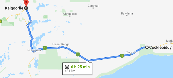
Cocklebiddy to Kalgoorlie

Cocklebiddy to Kalgoorlie Map

Up early and away at 7am, we didn’t hang around for breakfast, just wanted to get on the road. Very cold this morning with the temperature of 6° which felt even lower because of the strong wind that was blowing.

Our first run was to Norseman which is some 400Km from Cocklebiddy in about 4 hours, so an extremely good run. We were all a bit low on fuel as we did not top up at Cocklebiddy, we just wanted to get out of there.

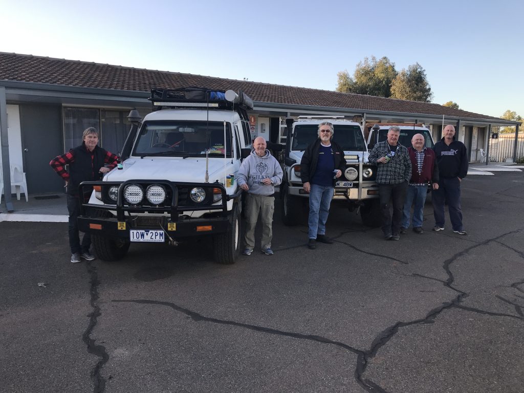
Then an easy couple of hours to Kalgoorlie, booking a motel while a few Kms out of town looking for a good deal which we achieved.

This afternoon was all about preparation as we start on the CSR tomorrow, and we need to stock up on everything fuel, food & beverages.

Off to a servo to top off all the tanks and also fill up our jerry cans, hopefully we have calculated this correctly and we will successfully make it to Bililuna with the fuel usage as calculated.

Filling the Jerry Cans is good fun, especially as we needed to ensure that there was no leakages and that the caps were fitted correctly and tightened. For Bruce and I, we needed to also slip our cans into heavy duty plastic bags, so that if there were any leaks we would not have fuel spillage in the actual vehicle. We will also top off at Wiluna which is about 530Kms north of Kalgoorlie and is the actual start of the CSR proper.

After fueling, off to find a supermarket, yep this is WA and both Woolies and Coles are not open Saturday afternoon (or Sundays). Did find an independent supermarket open, and you guessed it they knew how to charge, but there is no alternative. At least we have brought all the meat we will consume, and a few canned goods with us. Our shopping total was $207, not too bad I suppose.

Back to the motel and repack to ensure that all was in place and we know where everything is packed.

All Vehicles Loaded and Ready to go

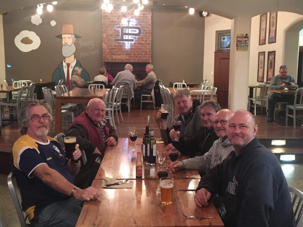
Being Saturday night, after a couple of bevies back at the motel off to one of the local pubs that was recommended to us. Great staff in the public bar.

The attached Dining room also offered a great selection, from tomorrow on we will be self catering all our own meals. So we certainly enjoyed the evening

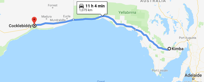
Kimba to Cocklebiddy

Our Third day on the road heading to the start of the Canning Stock Route at Wiluna

Kimba SA to Cocklebiddy WA

The great thing about AirBnB is that they do provide some provisions, so there was plenty to eat for breakfast. This particular AirBnB was a comfortable old house that had plenty of character. Excellent landlady who had put heaters in all of the bedrooms that took the chill off the rooms and get us warm overnight.

As usual up early, and on the road by 6:00am.

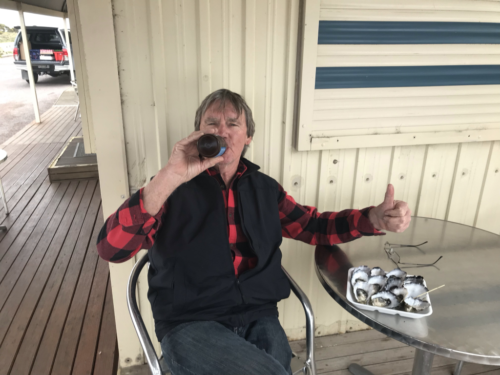
Bruce at Ceduna Oyster Barn

Our first stop for fuel and for breakfast was Ceduna, some 3 hours drive from Kimba. On our way out of town we stopped at the Ceduna Oyster Barn for what else local oysters, bloody fantastic

It was overcast when we left Kimba and we had showers on and off although these diminished as we got closer towards Ceduna. As we got further into the desert areas we had magnificent blue skies.

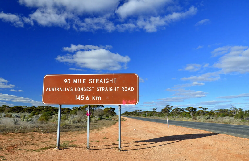
90 Mile Straight - Nullarbor Plain
The Nullarbor Plain

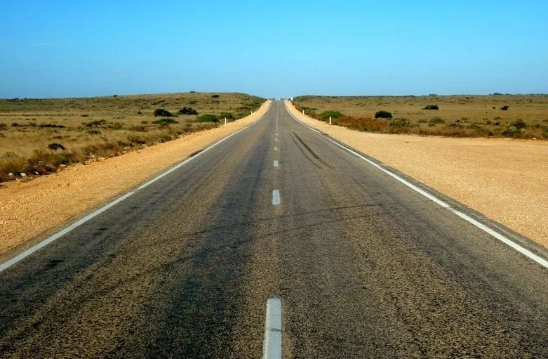
The Nullarbor Plain, the name is from latin and literally means No (null) Trees (arbor), is a section of the Eyre Highway which is just so straight the entire length, in fact there is one stretch of road that is signposted “90 mile straight”, as there are no curves let alone corners for the 145 Kilometres of the 90 Mile Straight.

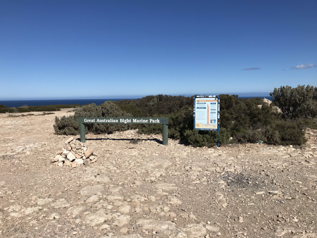
The trip is very boring for driver and passenger alike as we head west on these very straight roads. That is until we are about 150Kms east of the WA border, this is where the Eyre Highway is adjacent to the the Great Australian Bight where there are some spectacular views of the Indian Ocean in the area of Bunda Cliff.

I don’t know why but the staff at the quarantine point at the SA/WA border seemed to have some sort of attitude problem, the complete opposite to the staff at the quarantine point coming from NSW into SA. Anyway apart from being slow and really taking their time there was nothing to be found, we have done these quarantine points so many times that we know not to take any fruit or products that are subject to quarantine restrictions.

We arrived at Cocklebiddy in the late afternoon about 4:30pm, and as we got out of the vehicles we realised how cold it was, with a very strong wind so reduce the low temperature even more.

Cocklebiddy is just the Servo, caravan and camping area as well as “motel” rooms. These rooms have seen better days, but the air con worked so this was cranked up to warm the room to a decent temperature. This is the coldest place we have stopped at so far, pleased that as we are on the run to get to the CSR as quickly as we can, we are not camping, although we would have coped quite OK if we had to pitch the tents.

Interestingly enough when we checked in we could pay by card (or cash), however there was a $10 cash deposit for the TV remote. In our room the TV was hanging on the wall at a bit of an angle on a single shelf bracket. The one “wardrobe” in the room would have been impossible to use if we wanted to as the doors would not open it was so out of square.

As is usual at country places the meals are HUGE, no matter what you order, although basic and usually pretty darn good. A few of us went for the Bangers (3 very large) and Mash. Definitely no second serves needed.

We realised today that one of the reasons we are making such good time each day is the time zone changes as we head west, this will have a reverse effect as we head back at east. Another of course is straight roads with low traffic so we could push on and overtake not being held up by slow traffic

Hay to Kimba

The second day of our trip to the Canning Stock Route

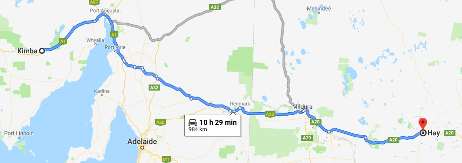
Hay NSW to Kimba SA

Today up at 5:00am to get under way early for a long driving day. We were at the Servo by about 5:30am, fuelled up by 5:40am, with a quick snack at the servo, and we were right to go. Getting away before 6 and well before daybreak which was to be close to 7:00am

Night Driving at Hay

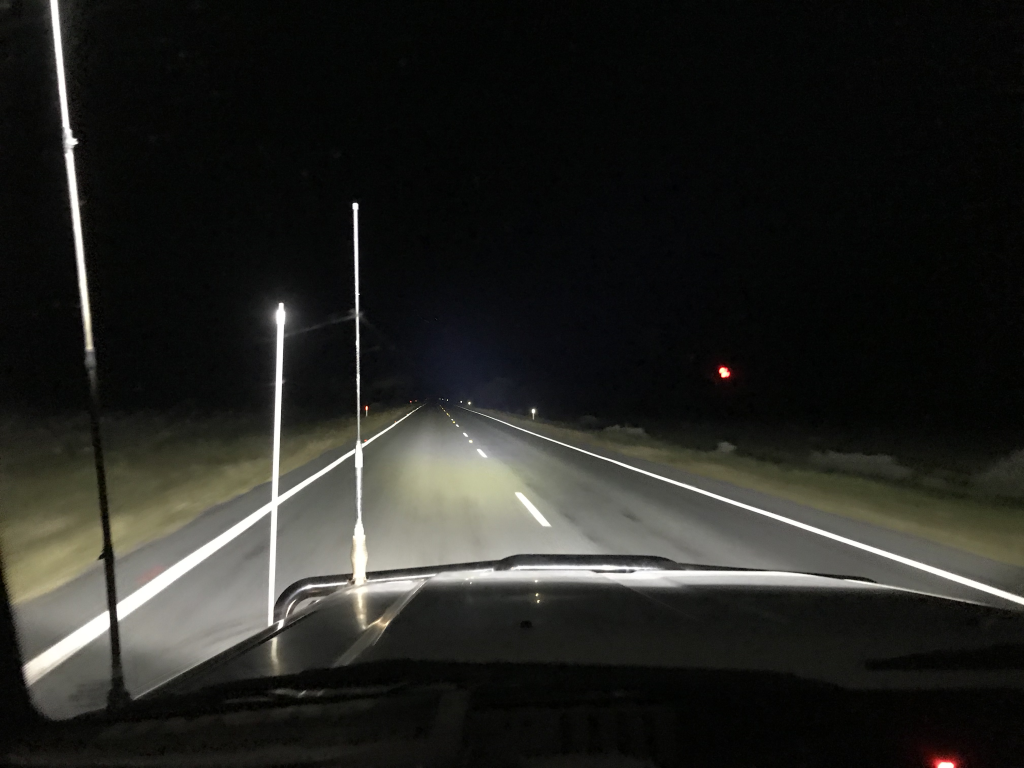
With the LED spotlights and LED bar which was mounted up high on our Land Cruiser attached to the roof rack we we had excellent view of the road and to the sides as well, so that we could pick up any errant wallabies or roos that like to be out at dawn and dusk. Fortunately, there was nothing that jumped out in front of us or were near the vehicles beside the road, although when we started to get some daylight we did see road kill, so there were skippys about.

We headed to Kimba via the Sturt Highway (A20), the Goyder Highway (B64) and finally onto the A1 National Highway. Going via Mildura, Port Pirie, Port Augusta and onto Kimba in SA.

We fuelled up at Port Augusta at about 2:15pm, so making good time to get to Kimba before dark. This time we had booked an AirBnB, as all other motel accommodation in town was booked out or did not have secure parking.

We arrived at Kimba at about 4:30 (Central Time) which was something that we hadn’t considered, getting a “free” half hour traveling west.

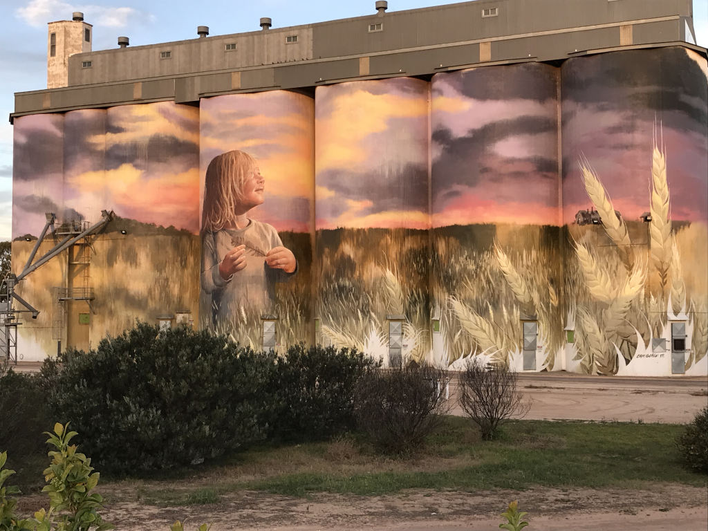
Kimba Painted Silos

Checked in, had a refresher at the House, and then a 5 minute walk to the hotel for a few more beverages and a meal.

On the way to the pub we checked out the artwork on the silo’s which are now no longer used.

Once again another early night, as another big drive tomorrow

Canberra to Hay

The plan was to get away at 1pm, fortunately we were all able to meet up a little earlier and got away at about 12:45.

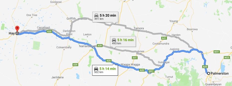
Canberra to Hay

A few minutes after we headed off on convoy, Chris called on the radio, he had forgotten to pack some essential items, one of which was the first aid kit, so a quick U turn and head back home to pick up the overlooked items.

Apart from that the trip to Hay was uneventful with the traffic on the M31 not too heavy and with dual lanes easy to sit on the speed limit. Turning off onto the Sturt Highway (A20), there was less traffic so once again any slower vehicles we were able to pass easily. Once we got out further west the plains are flat and the highway straight with great visibility so once again easy driving.

The last half hour into Hay was a race against the darkness fast approaching, and we arrived into Hay just on dusk, so not too bad at all.

After checking into the motel, we then headed to the pub for a few relaxers and for a meal. This was an early night as we wanted to be up at 5:00am and on our way, as tomorrow is a big drive day

Canning Stock Route

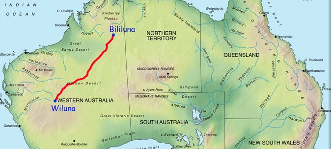
Well the day has come, today we start our trip from Canberra to Wiluna WA, which is the start of the (CSR) Canning Stock Route this we are planning to do in four days.

CSR - South to North

Actually commencing the CSR on 19 August, with a plan to take 15 days to complete the actual CSR. After completion we will be looking forward to some Barramundi fishing up near the top end.

Our first few days will take us from Canberra to Hay, then Hay to Kimba SA, from there to Cocklebiddy WA. From Cocklebiddy we head to Wiluna and the start of the Canning Stock Route, traversing from South to North completing at Bililuna

We plan on getting away midway through the day, and getting to Hay some 5 or 6 hours later. This will be the shortest drive of the days to get to the start of the CSR.

Day 2 – Suzhou to Hangzhou

Thursday 10 May 2018

First on “tour” and we needed to be up early, we got up at 5:45am. We needed to get our bags down to the reception area, and be on the bus by 8:30am.

So into the buffet, mostly Asian choices, no surprise there. After some searching a few diehards discovered that there was a toaster, and there was also cutlery. Win and I went for the Asian breakfast as initially we didn’t see anything else.

All of us were ready to go well before the 8:30 deadline. So on the bus and off to the UNESCO world heritage Lingering Gardens, quite an interesting layout with different “rooms”. The area I most enjoyed was the Bonsai area. Thomas explained that the Japaneses took the Bonsai idea from China, so Japan wasn’t the country with the original idea.

Then off to the canals. In the brochures Suzhou, is claimed to be the ‘Venice of the East’. Personally, although I have never been to Venice, I don’t think that thsi would rival Venice. Our tour took us on a boat trip on the Grand Canal. After the hour long tour, Thomas took us to Shantang Street, which has history of over 1,000 years, apparently it is a representation of Suzhou’s old alleys. Thomas pointed out a number of shops and we ate at one of his recommended Won Ton Restaurants – excellent.

After lunch it was back on the bus with a three hour trip to Hangzhou.

Day 1 – Sydney to Suzhou

Wednesday 9 May 2018

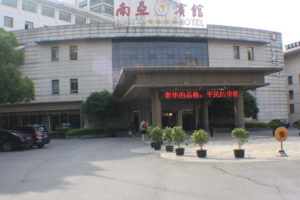
An early start to the day, which we found out was to be a continuing theme on some days.Nanya Hotel Suzhou

We left home at 6:30am and made good time to the airport. No problems checking in. My usual problem with border control, this is the third time traveling with my new passport, and once again the bio-metrics didn’t recognise me and I had to be “manually” processed.

Although the flight left a half hour late, we made good time. A good flight with good Stewards and Stewardesses.

Once we arrived and were “processed”, needing to have both hands, all four fingers and thumbs of both hands electronically fingerprinted, as well as a mug shot. We then proceeded to the next immigration checkpoint. Once again, photo taken and the left hand fingerprinted, how the hell they thought that we could switch identities in a walk of about 200metres is beyond, but anyway, welcome to China.

Then onto collect our luggage, so not too much waiting as it had taken us so long to be processed.

After luggage collection it was out into the terminal, where we saw many signs with peoples names on them. I was looking for something with Trip a Deal on it and spied a flag (or pennant) in the Trip a Deal colours, a few people back from those holding the other signs, so we were good. We made ourselves known to the pennant bearer, who introduced himself as Thomas who would be our guide for this area of China, who directed us to an area (coffee shop) where others were waiting having got their bags sooner than us.

Meeting up turned out to be quite the hassle, as many didn’t see Thomas holding up the flag. So some went straight outside, and once outside you cannot come back in, unless you go through the check in process as if you were going to fly out – what a hassle. One couple of ladies just stayed at the baggage collection area, just plain dumb. So for the last two, we were hanging around for an extra 45 minutes with everyone’s patience wearing thin.

So we flew into Pudong Airport one of two in Shanghai, but we were not staying in Shanghai tonight, we had another 2 hours on the bus to the Nanya Hotel in Suzhou, arriving there at 10:30pm, and getting to our room at 11:00pm

A really hard bed, which both Win and I felt very comfortable sleeping in, although there were some complaints the next morning